
Krommenie, Noord-Holland, Nederland
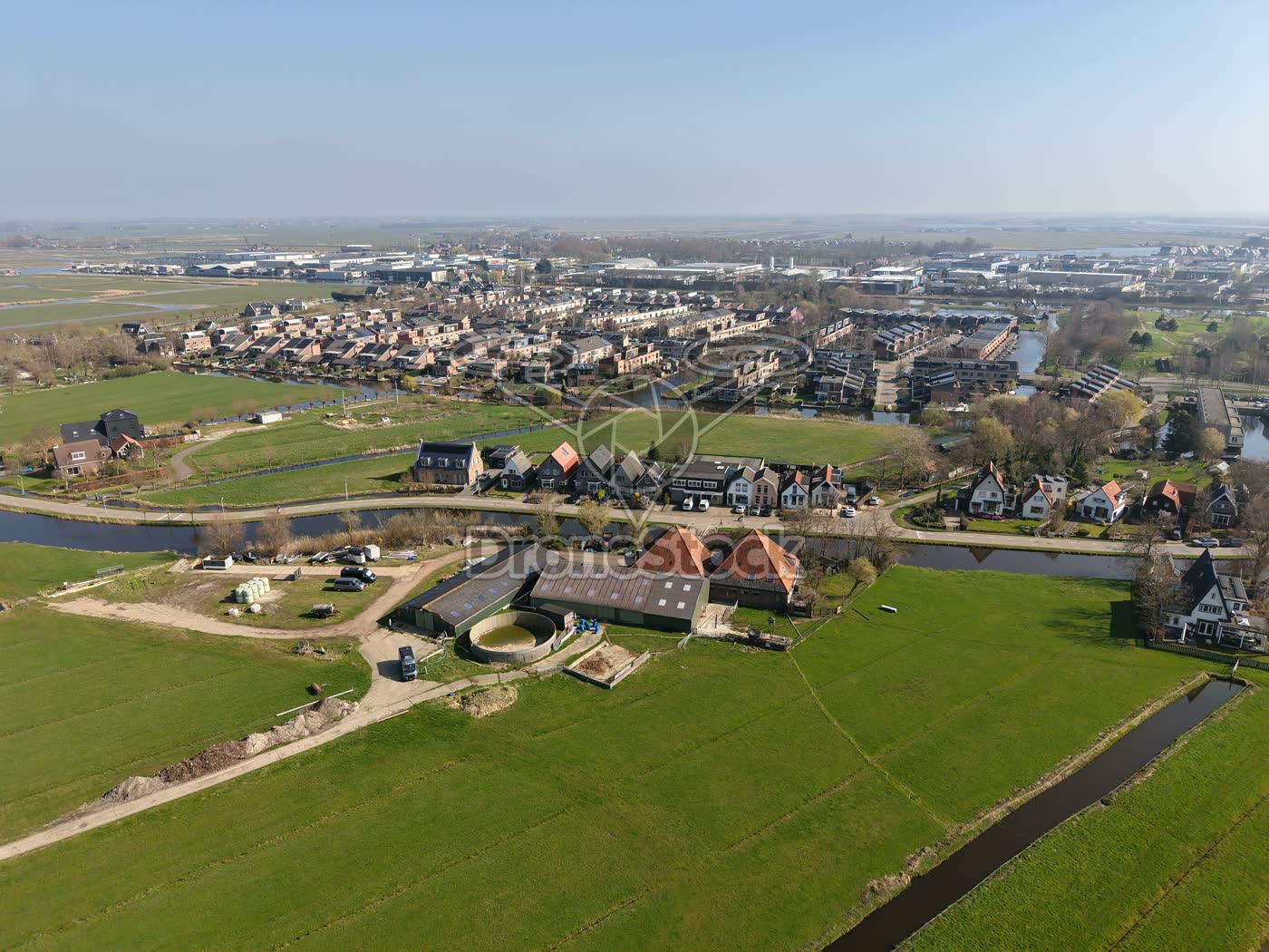
Residential area and polder near Krommenie
Drone photo of a residential area on the edge of Krommenie, with green meadows and ditches in the foreground. In the background the buildings and residential area Willis towards Wormerveer are visible.
Type
Drone photo
Resolution
12.6 MP
Orientation
Landscape · 4:3 · 4096 × 3072 px
Season
Spring
File
JPG
File size
9.6 MB
Similar footage
Genemuiden, Overijssel, Netherlands
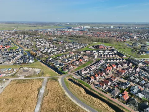
Aerial photo of a residential area in Genemuiden
€ 19,50excl. VATAerial photo of a residential area TAG with church in Genemuiden, Overijssel, with rows of houses along narrow canals and a park. In the background the center of Genemuiden

Kreekrijk, Saendelft (Assendelft, Noord-Holland), Netherlands
Kreekrijk, Saendelft aerial view
€ 19,50excl. VATOverview of the Kreekrijk residential area in Saendelft (Assendelft, North Holland) showing existing houses and new-build in a late development phase along canals.
Krommenie, North Holland, Netherlands
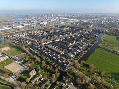
Overview Plan Willis Krommenie 2
€ 19,50excl. VATOverview of Plan Willis in Krommenie, captured as a drone image. Plan Willis is a spaciously laid-out residential area with various housing types and virtually no high-rise buildings.