
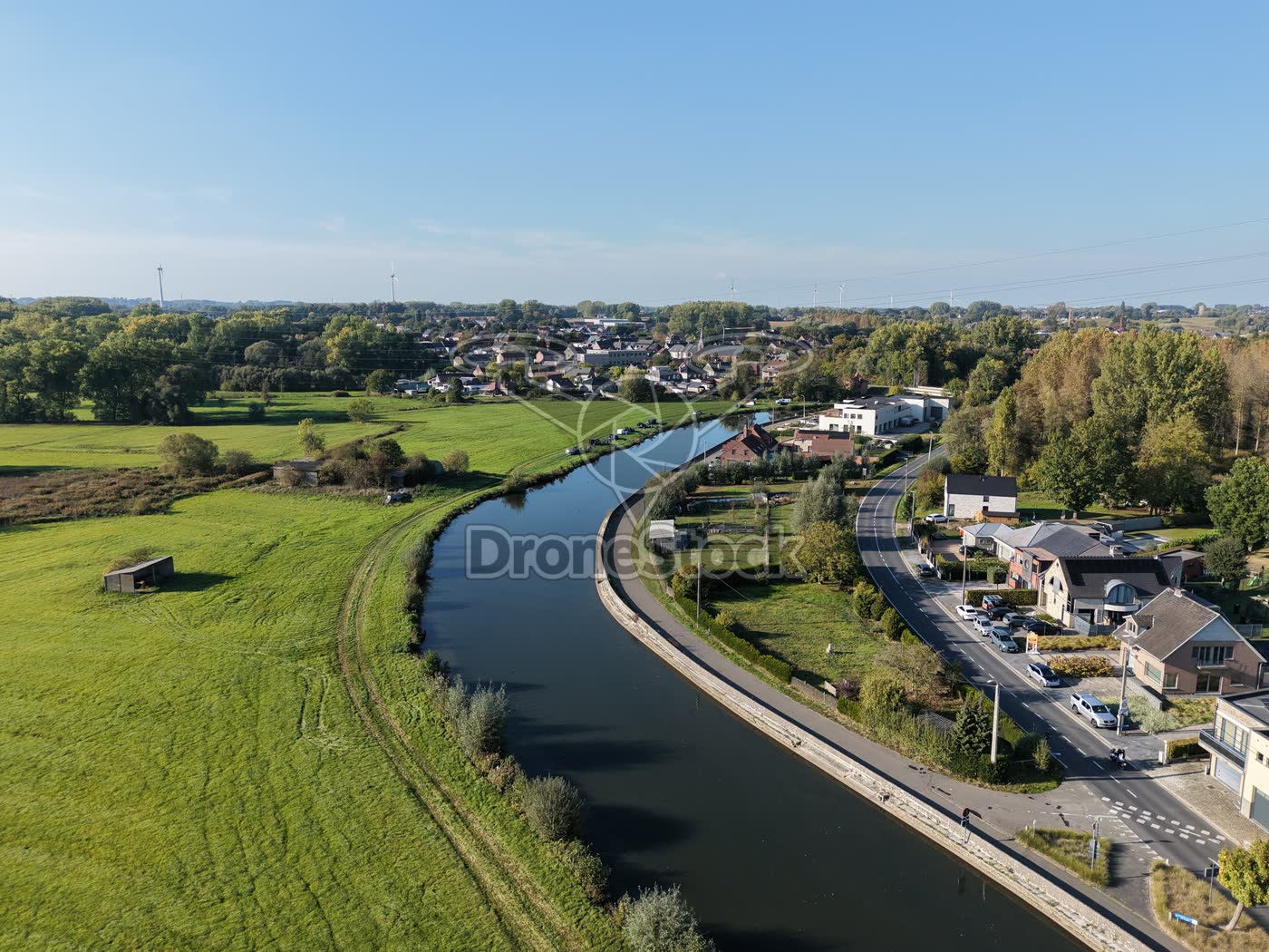
Pamel, Flemish Brabant, Belgium
The Dender winding through the Pajottenland landscape
The Dender in Pamel, Flemish Brabant winds along a village with houses and a main road. Pastures border the banks and windmills mark the horizon in the gently rolling Pajottenland landscape.
Background information
Pamel is a submunicipality of Roosdaal in Flemish Brabant; the village lies on the Dender, which flows through the Pajottenland — a region of predominantly agriculture and gently rolling fields.
[1] Toerisme Roosdaal - 6 Parochies[2] Dikke van Pamelwandeling | VISIT Vlaams-Brabant[3] Pajottenland - Wikipedia
Type
Drone photo
Resolution
12.2 MP
Orientation
Landscape · 4:3 · 4032 × 3024 px
Duration
n/a
Frame rate
n/a
Season
Autumn
File
JPG
Similar footage
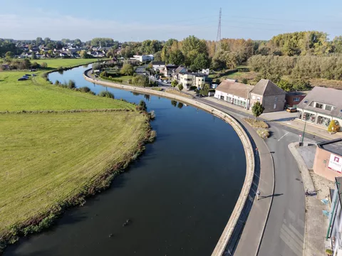
Pamel, Flemish Brabant, Belgium
The Dender in Pamel 2
€ 19,50excl. VATThe Dender in Pamel: a bend of the river with a quay and a road where people walk and cycle. Along the water are open pastures and houses.
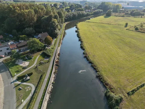
Pamel, Flemish Brabant, Belgium
The Dender in Pamel
€ 19,50excl. VATA bend in the Dender at Pamel with a quay and an adjacent foot and cycle path along grassland and houses. A small vessel leaves a visible wake behind.
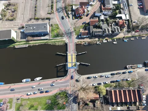
Krommenie, Noord-Holland, Nederland
Vaartbrug between Krommenie and Wormerveer
€ 19,50excl. VATDrone photo of the Vaartbrug between Krommenie and Wormerveer, seen from above. The bridge spans a narrow waterway and connects the surrounding residential streets and roads in the urban area of Zaanstad.