
Uitgeest, North Holland, Netherlands
Krommeniedijk overview 6
Krommeniedijk near Uitgeest: polder landscape with regular green plots separated by narrow ditches. Along the dike lies a ribbon village on the water.
Background information
Krommeniedijk is the dike/linear road on the south side of the Woudpolder and is part of the open peat and polder landscape around the Alkmaarder- and Uitgeestermeer. Along the dike are the Fort bij Krommeniedijk and the polder mill De Woudaap.
[1] Krommenieër-Woudpolder — Oer‑IJ[2] Poldermolen de Woudaap, Krommeniedijk | Hoogheemraadschap Hollands Noorderkwartier[3] Recreatiegebied Alkmaarder- en Uitgeestermeer — Plattegrond / informatie[4] Provinciaal erfgoedregister - december 2024 — Provincie Noord‑Holland
Type
Drone video
Resolution
4K
Orientation
Landscape · 16:9 · 3840 × 2160 px
Duration
00:13
Frame rate
30 fps
Season
Spring
File
MP4
Codec
H.265/HEVC
Similar footage
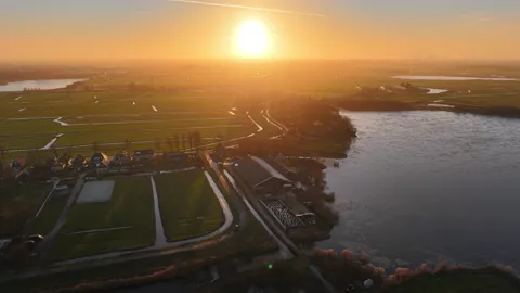
Krommenie, Zaanstad, Noord-Holland, Netherlands
Polder and Pond near Krommenie
€ 59,00excl. VATA polder with a large pond and a row of houses near Krommenie, lit by a low sun.
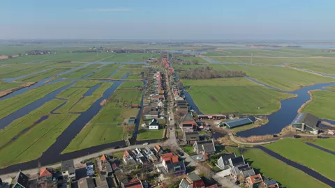
Krommenie, North Holland, Netherlands
Ribbon village Krommeniedijk in the polder landscape
€ 59,00excl. VATDrone image of the ribbon village Krommeniedijk, surrounded by expansive meadows, ditches and the open North Holland polder landscape. The buildings clearly follow the historical ribbon through the polder.
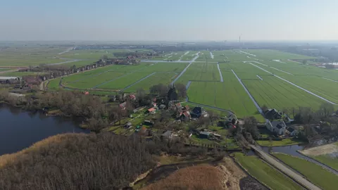
Krommenie, North Holland, Netherlands
Krommeniedijk with Reformed church
€ 59,00excl. VATChurch of Krommeniedijk in Krommenie with adjacent houses along the Krommeniedijk. The ensemble is situated between green polders and narrow ditches.