
Krommenie, Noord-Holland, Nederland
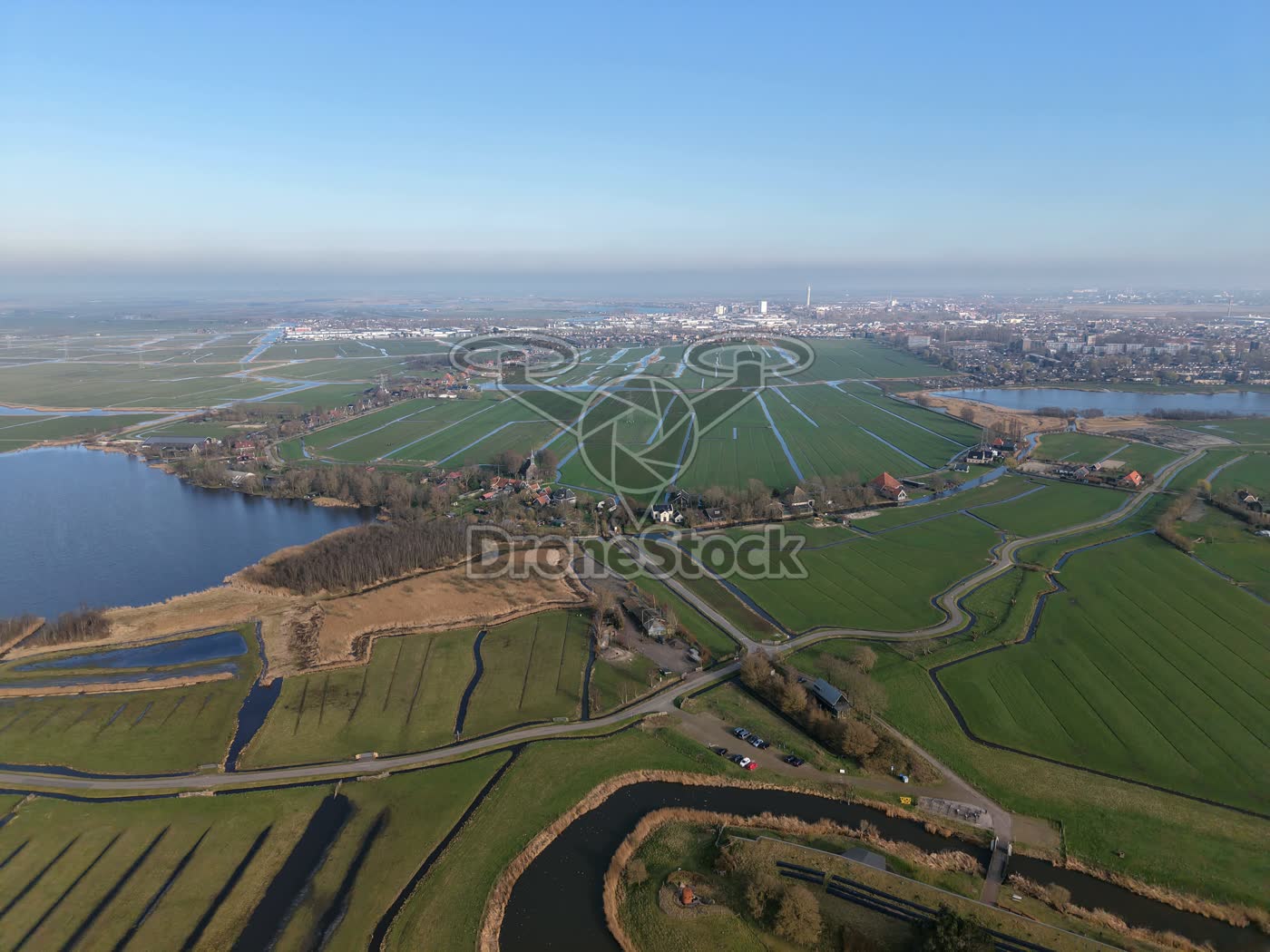
Polder landscape near Uitgeest and Krommeniedijk 2
Drone photo above the polder landscape between Uitgeest and Krommeniedijk, with extensive meadows, ditches, bodies of water and scattered buildings. During the flight a wide overview of the open Noord-Holland landscape is created.
Type
Drone photo
Resolution
12.6 MP
Orientation
Landscape · 4:3 · 4096 × 3072 px
Season
Spring
File
JPG
File size
7.3 MB
Similar footage
Krommenie, Noord-Holland, Nederland
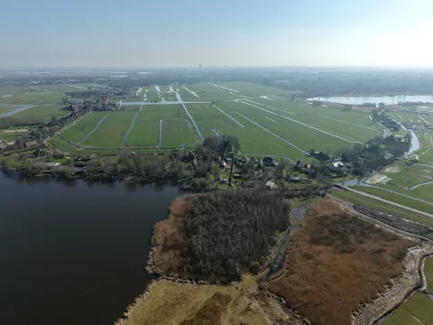
Polder landscape near Krommeniedijk
€ 19,50excl. VATPolder landscape near Krommeniedijk and Uitgeest with green meadows, ditches and scattered buildings along the water. The drone shot shows the open Noord-Holland landscape on the edge of Krommeniedijk.
Aarlanderveen, Zuid-Holland, Nederland
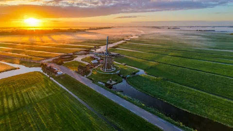
Windmill in polder landscape
€ 19,50excl. VATWindmill between narrow ditches in an expansive polder landscape, with low-rising mist at sunrise.

Kreekrijk, Saendelft, Zaanstad, Noord-Holland, Netherlands
Kreekrijk Saendelft with new housing
€ 19,50excl. VATOverview of Kreekrijk in Saendelft (Zaanstad) showing colorful houses, canals and visible new housing in the final phase.