
Arnhem, Gelderland, Netherlands
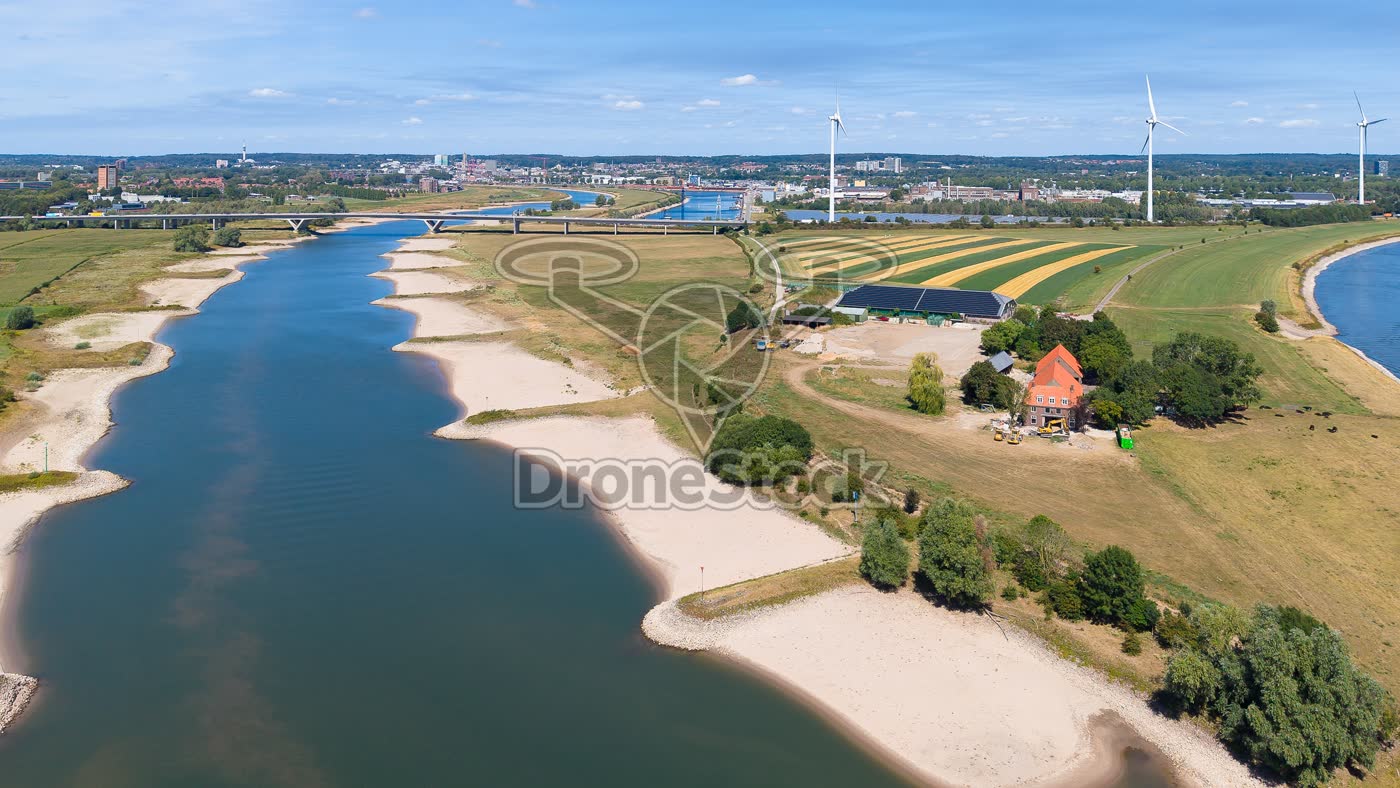
Low water in the Nederrijn near Arnhem
This is the location near Huissen in Gelderland where the IJssel branches off from the Nederrijn (left). The effects of the prolonged extreme drought on shipping are clearly visible here: the water level has decreased so much that shipping has to drastically adjust their draft by roughly halving their cargo. Normally the sandbanks now visible to the left and right of the river are submerged. In the background the Pley Bridge with part of the N325 road is visible, with behind it part of Arnhem-South. The N325 connects Arnhem-South with the Velperbroekcircuit.
Type
Drone photo
Resolution
20MP
Orientation
Landscape · 16:9 · 6000 × 3374 px
Duration
n/a
Frame rate
n/a
Season
Summer
File
JPG
Similar footage
Driel, Gelderland, Netherlands
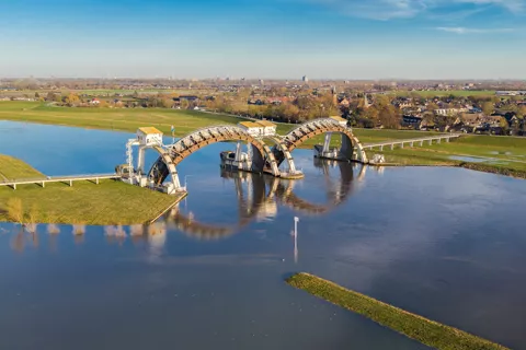
Driel weir and lock complex
€ 19,50excl. VATThis is the weir and lock complex in the Nederrijn at Driel. It consists of a weir, a navigation lock and a fish ladder. The navigation width is 2x 48 metres and is 20.6 metres high. The weir has an important function in the water distribution of the River Rhine in the Netherlands: obtaining sufficient fresh water in the north of the Netherlands and good navigability of the River IJssel. Because of the operation of the weir, a larger part of the Rhine's discharge goes via the IJssel to the IJsselmeer.

Arnhem, Gelderland, Nederland
John Frostbrug by the Rijn, Arnhem
€ 19,50excl. VATEusebiuskerk by the Rijn in Arnhem towers above the city center, with the John Frostbrug spanning the river and traffic on the bridge.

Arnhem, Gelderland, Netherlands
John Frostbrug in Arnhem
€ 19,50excl. VATJohn Frostbrug in Arnhem over the Nederrijn, with traffic on the bridge and a rowing boat on the river.